Kaimatai Punaha a-Tuwāhi | Senior GIS Specialist
Technical Services
I am a specialist in Geographic Information System (GIS) focusing on spatial analysis, ecological connectivity and 3D visualisation. I work closely with Landscape Architects, Planners, Ecologists and Urban Designers providing mapping and spatial intelligence solutions on a range of projects.
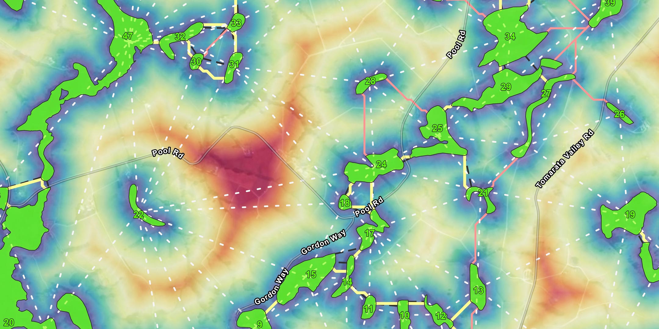
The collaborative nature of the work we do at Boffa Miskell provides us opportunities for utilising innovative methods and latest technologies from the world of GIS. I really enjoy working on StoryMaps and developing Web Viewers for showcasing projects and engaging with the community. The recent work we have done in ecological connectivity modelling for Auckland Council and Western Bay of Plenty has been well-received and recognised in New Zealand.
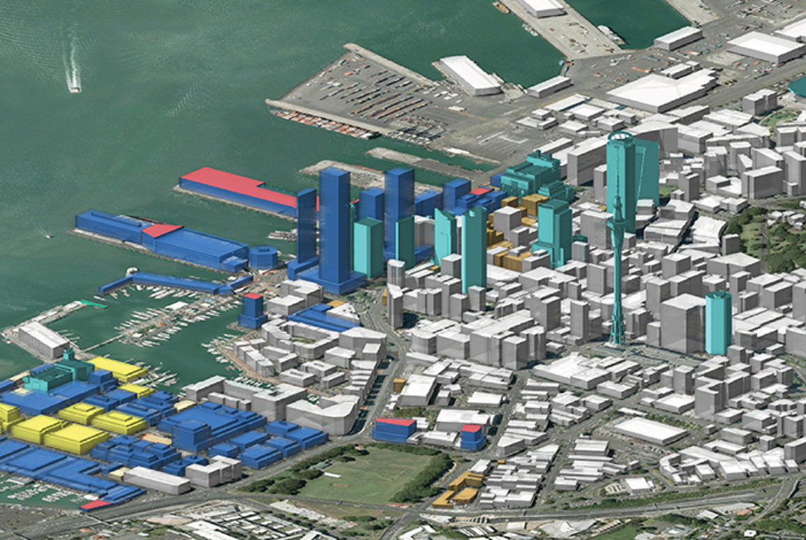
We are also involved in evaluating landscape and visual effects on a range of infrastructure, utility and future development projects in urban and rural settings. My involvement in these projects included undertaking visibility analysis and creating 3D models of the proposed scenarios using modelling software like ESRI CityEngine and Infraworks.
My previous experience includes working on the proposed Auckland unitary plan and the operative district plans for Manukau and Papakura. I have also worked on fiscal impact analysis with the Hillsborough County Planning Commission in Florida utilising my planning background and GIS skills.
Qualifications
Master of Urban and Regional Planning, Virginia Polytechnic Institute and State University, USA
Bachelor of Planning, School of Planning & Architecture, India
Affiliations
Member, Surveying & Spatial Sciences Institute
Member, New Zealand ESRI Users Group