Field work goes digital
1 August 2013
SHARE

Our staff can now access, record and update digital data including spatial (GIS) data while working remotely in the field.
This has been made possible with the purchase of an ArcGIS Online license utilising the ‘Cloud’ and secure interfaces to enable field-based editing and data input.
“Until now, most field data was recorded in notebooks or hard copy maps and had to be digitised back in the office,” explains Gary White, Boffa Miskell GIS / CAD specialist. “We’ve now successfully trialled mobile online access, enabling a more streamlined process with cost and time efficiencies for field related project work.”
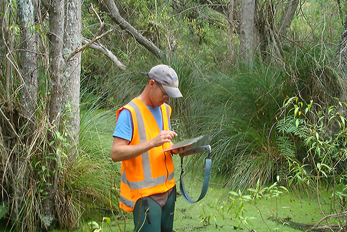
The field trial was set up with Boffa Miskell ecologist Scott Hooson, who used an iPad to map vegetation communities and record a range of data while onsite in a series of wetlands he was surveying in the Waitaki Valley for Meridian Energy. When Scott returned to the office, the data had been automatically downloaded into the company’s GIS, ready for reviewing.
And Scott’s conclusion? “It’s great technology - it increases the accuracy of the field data and cuts back the work in the office.”