Digital
Matihiko
Empowering consultants and clients with location intelligence. Enabling data-driven decisions through geospatial analysis and visualisation of our natural and built environment and providing digital solutions for engagement.
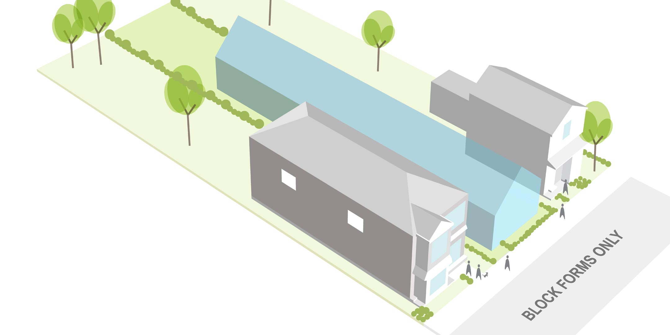
Bringing data to life adds a new dimension during the concept, design, and delivery stages of a project. With a focus on collaboration, our digital specialists use the latest technologies and spatial analysis techniques to provide innovative solutions to complex problems. We work closely with consultants and clients to collect, analyse and communicate spatial data. We use visual simulations, geographic information systems (GIS), UAV surveys, building information modelling (BIM) and cartography to engage stakeholders and the community throughout the project lifecycle.
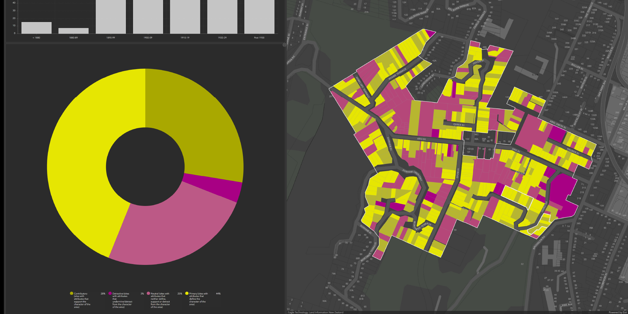
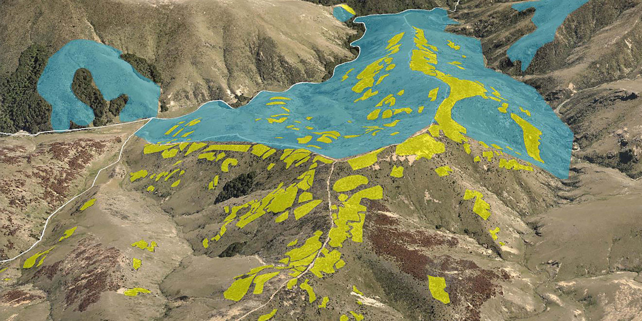
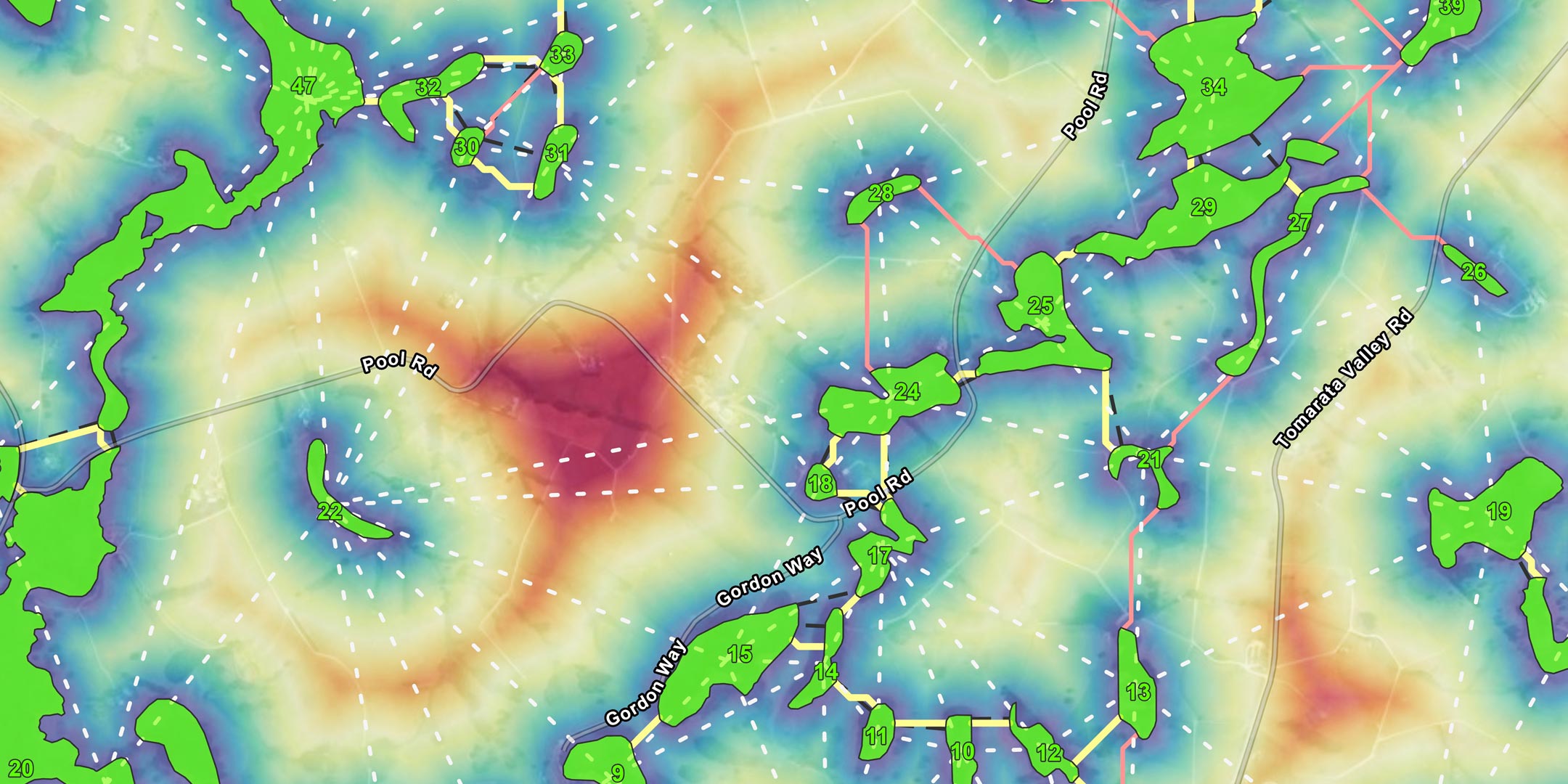
Geospatial analysis
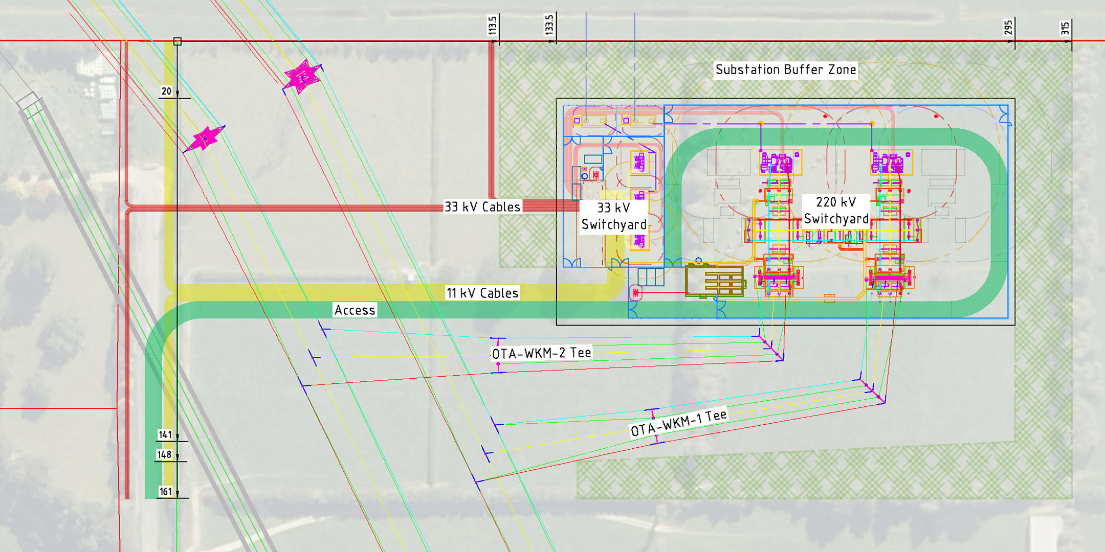
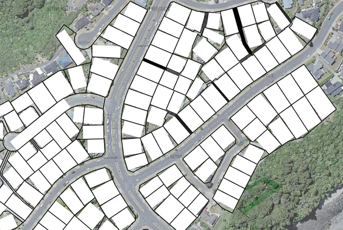
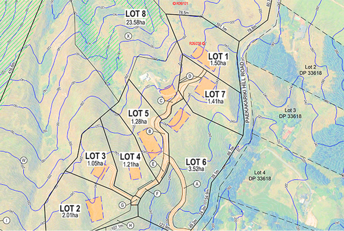
Our GIS team delivers tailored geospatial solutions to meet the unique needs of our clients. This includes scenario and constraint analysis, 3D modelling and climate-change indicators. Our expertise in field/mobile, web and automation tools provide efficient workflows for data capture, database design and management and visualisation.
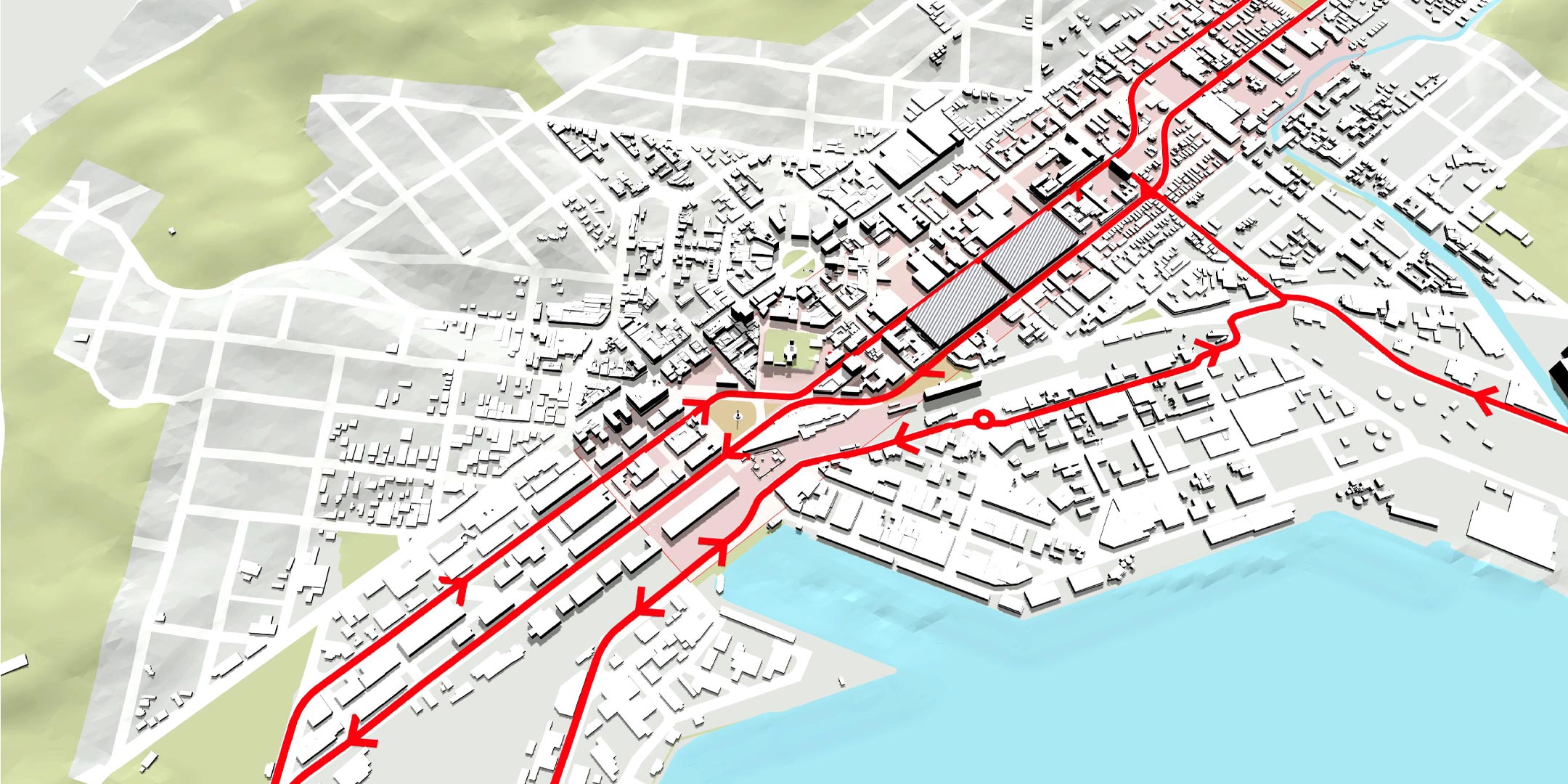
Visual simulations
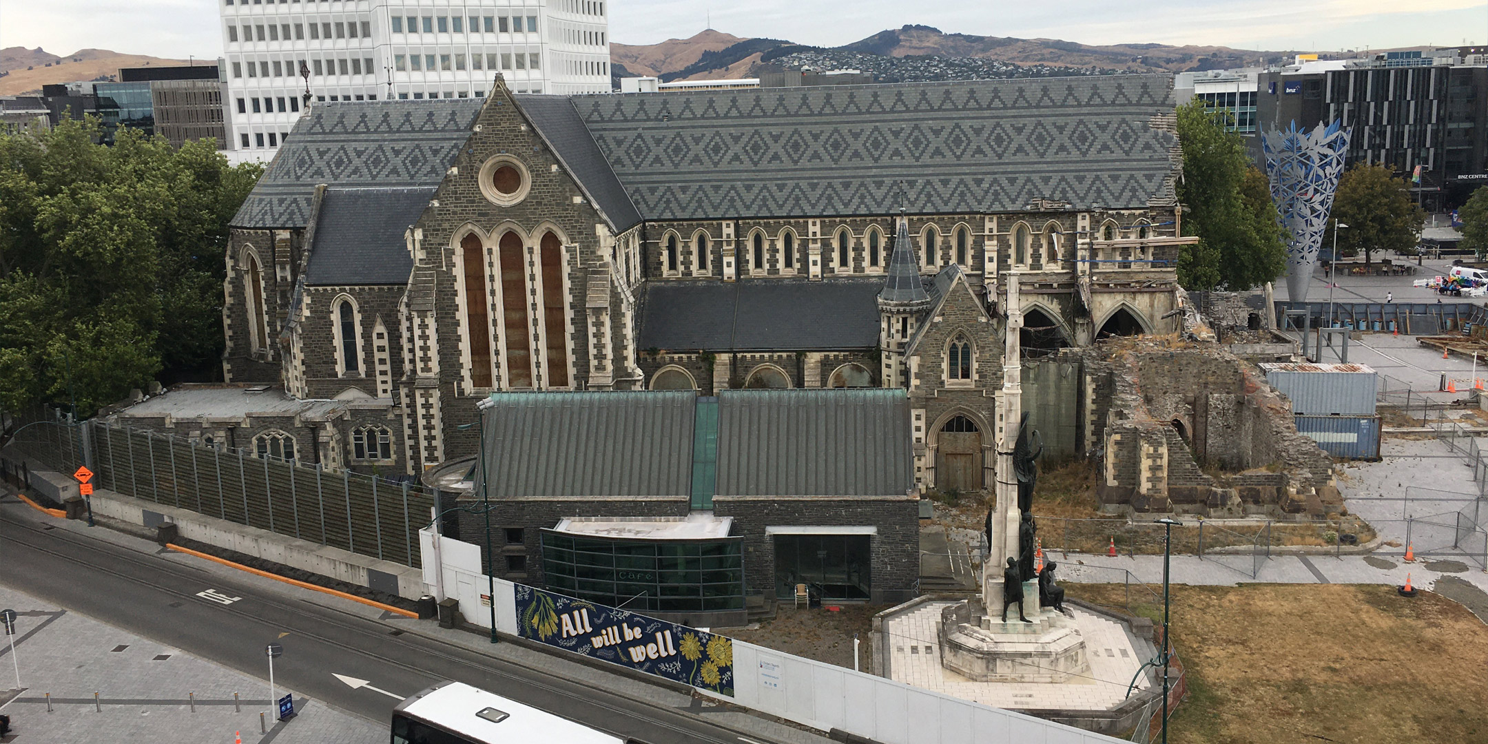
Visual Simulations (Photomontages) are an essential part of Landscape and Visual Assessments. They are used as evidence in consent hearings and in the Environment Court and are generated to a high degree of accuracy. Work is undertaken in accordance with NZILA Best Practice Guidelines and meets the highest standards. Concept Visualisations, animations and flythroughs are also valuable tools for displaying project work. We are also investing in the latest Virtual and Augmented Reality technologies”.
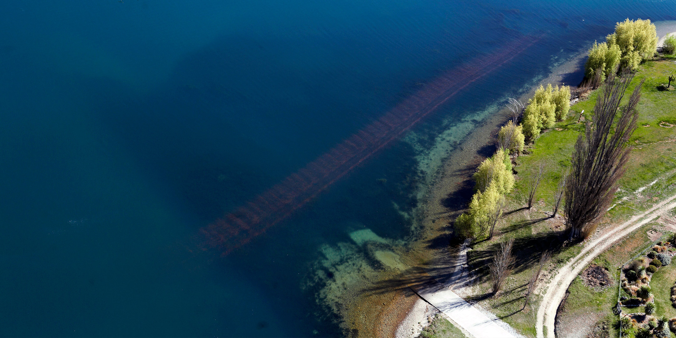
UAV | Drones
Unmanned Aerial Vehicles (UAV) are an essential tool in the gathering of 3D site data and have become an integral part of our workflows. Aerial surveys can be divided into three types - land survey, building survey and video/photography. In each case the scale of the site, the frequency and the type of data capture required will determine the most appropriate UAV for the operation.
BIM
We use BIM extensively in our design workflows. Our Design Technology team develops, manages and supports our design disciplines to deliver projects more efficiently and to appropriate quality standards, and guides on-going identification, testing and implementing innovation into our design work.